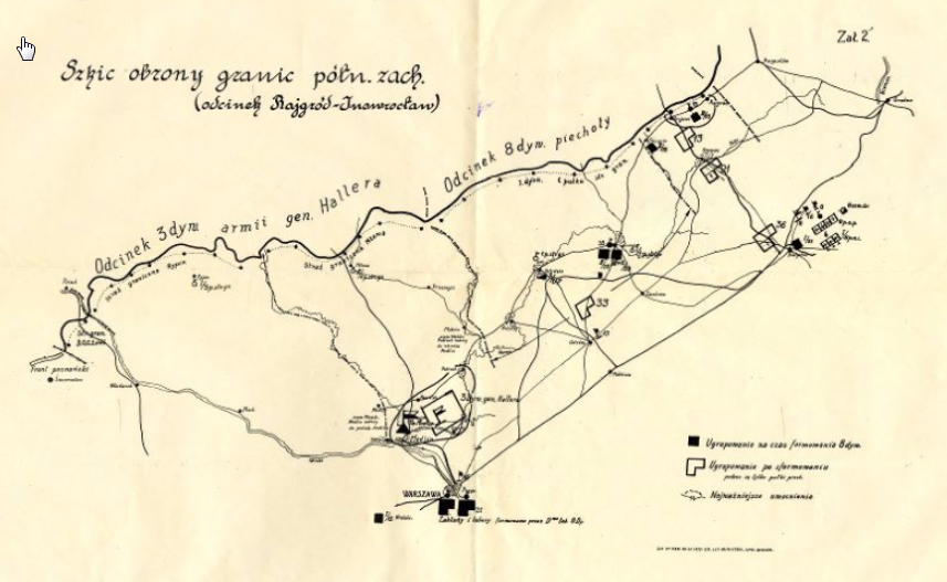
We are presenting the next digital collection of the Pilsudski Institute: Maps Online. The online exhibition covers the maps from the archival fonds “Adiutancy - Commander in Chief”, as well as maps from other collections. The browser shows the historical map, the map area on a modern map and allows to zoom in bigger maps.
You can find a very interesting set of original maps of different parts of Europe in the years 1918 - 1922. The Battle of Warsaw is illustrated by daily maps presenting the situation on the fronts, the Bolshevik offensive and the retreat of the Red Army after the Battle of Warsaw. There are maps of state boundaries, planned and settled by treaties, location of bunkers, positions of the German armies and may other details, like the map of provisioning for the Lithuanian-Belarussian front. A rare 1941 map shows the details of the Fifth Column in the USA (nazi, communist and fascist).
As we progress with the digitization of our archival resources, we will add more maps. We invite all map lovers to visit our collection.


